
Maptek Eureka - Mining Project Data Viewing and Analysing Software
Maptek Eureka provides one integrated platform for viewing and analysing mining project data. Eureka 5 shares the Maptek Workbench environment with Vulcan, offering integrated workflows, data sharing and access to additional applications on a single platform.
- Powerful
Fast 3D graphics and powerful processing of large datasets - Visualisation Enhanced
Integrated and interactive 3D display of all geospatial data, level of detail rendering - Multi-attribute data:
Analytical tool to interrogate and model data attributes - Geological tools
Powerful data query and filtering; easy correlation, sectioning and modelling - Intelligent seismic tools
Easily create velocity models to allow data conversion from time to depth - Lithology tools
Use downhole geophysical or drilling data to automatically detect coal seams or other strata targets
- Implicit modelling Enhanced
Create implicit surfaces of drilling or attributed data for enhanced orebody interpretation and model narrow sub-vertical data such as veins - Geotechnical analysis
Extract discontinuities from surfaces, create stereonets, perform kinematic analysis - CAD tools
Point, line and polygon creation tools, Action Plane and snapping modes - Geodesy tools
Edit and manage frequently used coordinate systems - Interoperability
Support for a wide range of industry file formats - Export
Generate high quality images, models and animations
- Productivity
Manage and view all your geospatial data in a single, 3D environment - Efficiency
Make full use of data from expensive drilling and geophysical programs - Flexibility
User-defined structure for organising and managing data - Connectivity
Remote and real-time updates of project databases - Secure
Automatic save after data creation or editing - Integration
Bring seismic interpretation into resource modelling - Intuitive
Easy to use interface
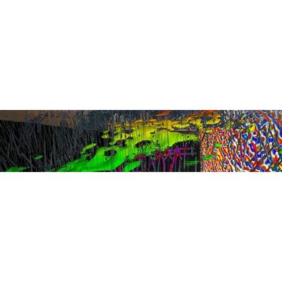
The interactive 3D environment allows geologists to visualise and model exploration and project data including drilling, geophysics, seismic, GIS data, terrain maps and other imagery. When geophysical data such as seismic, gravity and magnetic surveys are viewed in the same space as exploration drilling data, intuitive correlations can be confirmed.
Spatially located data put into context promotes better understanding of the inter-connecting relationships between the disparate information. Viewing the data at different scales allows users to see the big picture as well as analyse local areas of interest.
Eureka’s CAD, geodesy, drillhole database and correlation tools and high impact visualisation are valuable aids for geological modelling. Smart CAD tools give unparalleled control over the working space within complex 3D datasets.
Users can customise settings for input drilling data, resulting in better validation and easily select modelling targets. Attributed data can be accessed from Maptek Vulcan or created in Eureka. Search, filter and highlight object tools provide for detailed analysis.
Drilling data stored in an Isis database is shared between Vulcan and Eureka. Any changes to the database made in either package are dynamically updated on screen in Eureka. Similarly, implicit or other types of models created in Eureka are readily available for use in Vulcan as triangulation files.
Tile and tie views allow linked viewing of Eureka data on one screen and the same or different data in Vulcan on another, while maintaining individual/dedicated file explorer and menus.
Implicit modellingEureka implicit modelling is an effortless way to create and edit orebody models for first pass volume calculations. Eureka uses a radial basis function approach to implicit modelling, accepting a wide range of input data types including triangulations, point sample data, and direct drillhole intercepts, as well as lines, polygons and ribbons.
Geologists can select all or part of multiple ISIS or CSV drillhole databases, CAD control and triangulation envelopes and quickly make an implicit orebody model. Use of interactively oriented ellipses allows the geologist to visually guide the output. Output models also contain a reference to all the data and parameters used in their creation. This offers both an in-built model audit as well as the ability to easily recreate variations of the model based off the same data and parameters.
Multiple orientation ellipses can be used simultaneously to control the models in structurally complex situations. This approach is well suited to elongate and variably sampled modelling, and Eureka offers an additional method tailored to modelling thin steeply dipping vein type deposits, whereby the hanging and footwall models are created as implicit surfaces.